
Walk the Costa Mesa Street Directory
A Costa Mesa street directory question is really an address chain. The county assessor is the practical starting point for a street number or APN, while the county and city map layers show how that parcel sits beside the next one. Recorded deeds add named parties and dates. Permits add physical work and project participants. Historical reverse directories can add past household clues. None of those records is a complete list of everyone connected to an address, so each step needs its own interpretation.
- Start with the address. Run the street number and name through the Orange County Assessor search, or use the APN when one is known. Record the APN, situs, mailing field, and visible parcel details.
- Open the map. Search or pan to the same location in the GIS parcel viewer. Click the target polygon and nearby polygons, then save each APN before moving on.
- Separate current verification. Use the official voter-status route only for an individual match or an authorized data request. It is not an anonymous street-browse tool.
- Follow the deed trail. Search the recorder index by current owner or assessee, grantor or grantee role, date, and document type. Keep the legal description with the result.
- Check older household clues. Ask the library or archives for reverse and criss-cross directories, then compare a street-and-number entry with census, newspaper, or permit evidence.
The chain moves from address to APN to parcel context, then from a named party to a recorded instrument and finally to evidence about people who used the property. That order prevents a map label from being mistaken for a household fact.
Read Costa Mesa Street Assessor Fields
The Orange County Assessor is address/APN-led. The public web search is primarily parcel and address keyed, and unrestricted owner-name searching is not advertised. Begin with the house number and street name when the APN is unknown. Once a result is found, keep situs and mailing fields separate and treat the displayed name as an owner or assessee lead, not as a resident finding.
| Search key | How to use it | What it can establish |
|---|---|---|
| Address or house number | Enter the street number with the street name and refine the result | Connects a Costa Mesa situs to a parcel candidate |
| Street name | Pair it with the number; test spelling and directional fields | Reduces a street search to the correct address record |
| APN or parcel number | Use the direct parcel key when a map or deed supplies it | Links assessor, tax, GIS, and legal-description clues |
| Result and navigation controls | Follow the live portal labels and parcel navigation | Shows only the public fields exposed by the current system |
Expected parcel fields include APN, situs, mailing or assessee name where displayed, legal-description cues, land and improvement values, total assessment, tax-rate area, use or type, transfer information, and exemption indicators. These fields can sharpen a street trail, but a tax record is not a title guarantee and a tax mailing address is not an occupancy record.
The Orange County secured property-tax search is the companion source shown in the Costa Mesa street directory image below.
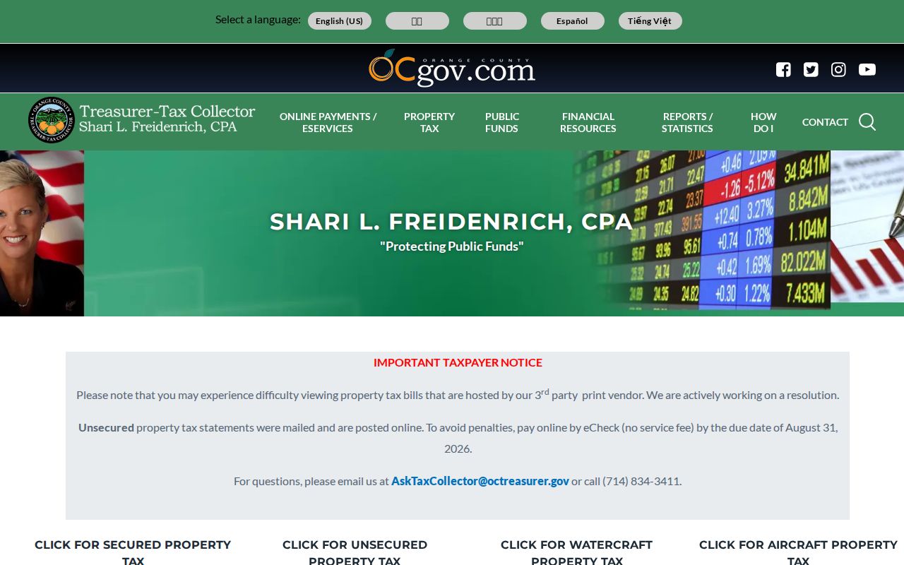
The tax screen is useful for a parcel-oriented check, while payment status remains separate from chain of title. Verify any important ownership point against the recorded document and legal description.
Browse Costa Mesa Parcels Street by Street
Street browsing works best as a repeatable map process: address to parcel polygon to APN to the next polygon. Search a known number, zoom until boundaries are legible, click the target, record the APN, close or move the pop-up, and repeat for parcels sharing an edge or facing the same block. A radius or buffer is not needed for an immediate block, and map layers should be treated as context rather than a deed substitute.
The Costa Mesa parcel service can expose sale and prior-sale dates, document number, deed type, mailing information, old APN, subdivision, legal block, lot, and book-page fields beyond the county gateway. The address service adds ZIPCODE and full-address variants. Query those services narrowly because the published parcel layer is limited to 2,000 records, and confirm current field names in the live interface.
Process: address → parcel boundary → APN → situs and mailing comparison → owner or assessee lead → deed, tax, permit, or historical directory check.
Costa Mesa Street Growth Layers
Costa Mesa incorporated on June 29, 1953 at about 3.5 square miles, then expanded through 1955-59 annexations. Fairgrounds and Mesa del Mar added 837 acres on June 3, 1955. Orange Coast College added another 210 acres later that year. Land west of Harbor between Baker, Gisler, and MacArthur added 163 acres on October 8, 1956, and roughly 950 northern acres followed in 1959.
That growth history matters when a street record appears older than the city file. An address may sit in Orange County records before it acquired a Costa Mesa municipal record, or a modern city label may replace an older regional description. Compare the legal description, tract or lot, old APN, and map position instead of relying on a city name alone. For parcel-map questions, the local planning contact listed in the research is 714-754-5245 and planninginfo@costamesaca.gov.
Note: Annexation dates explain why a continuous parcel trail can cross county, regional, and later municipal labels.
Follow Costa Mesa Street Deed Records
The Orange County RecorderWorks grantor-grantee index searches parties, recording dates, document titles or types, and instrument references. It is an index only. Images are not displayed in the free search, and Clerk-Recorder staff do not perform a title search by phone, in person, or by mail. Start with the current owner or assessee lead, search as grantee within a plausible date range, and compare the legal description before treating a hit as the same parcel.
When a result is found, record the grantor, grantee, date, document type, instrument number, and legal description. For a copy, use the county's official-record copy instructions. Pre-1982 copy references require book, page, and instrument details when available; 1982-forward references use the recording year plus a six-digit instrument number. That is a copy-order distinction, not proof that the online index begins in 1982.
County guidance lists plain copies at $1 per page, with certification adding $1 per document or map. Mail the request with a self-addressed stamped envelope and a check payable to County of Orange, Orange County Clerk-Recorder, 601 N. Ross Street, Santa Ana, CA 92701. Copy questions go to 714-834-2500. A new recorded title-affecting document can also trigger a free courtesy notice to the property owner, including the first page, which is a fraud-warning service rather than a resident alert.
Date Costa Mesa Street Permit Records
Costa Mesa permit records are address evidence and physical-history evidence. The city's Document Search should be tried first with the street address and any project or permit number. A file may identify an owner, applicant, architect, engineer, or contractor at the time of filing, along with scope, inspection activity, and dates. Those roles do not establish who was present at the address.
If the archive does not show the needed jacket, application, plans available for inspection, final or inspection history, or certificate of occupancy, use the city's California Public Records Act request form as the fallback. Give the exact address, APN, project number, record type, and a narrow date span. The city may ask for clarification, quote copy costs, or withhold exempt material. Police reports are routed separately to the Police Records Bureau at 714-754-5373, not through that web form.
Permit and code files can explain when a physical change occurred even when a street directory entry stays the same. Ask for a final closed-case record when researching code activity; an absent online result does not by itself show that no older file exists.
Note: Use Costa Mesa Document Search before a CPRA request when a permit record may already be available online.
Recover Past Costa Mesa Street Occupants
Historical reverse and criss-cross directories can recover household clues that property records miss, but the complete Costa Mesa run is not fully verified. Research confirms an 1884 regional volume filed the present area under Newport, a 1931 directory printed by the Costa Mesa Herald shop, and Bessie Lounsberry's unpaid local compilation of names and addresses from 1937-51. The 1941-42 and 1943-44 entries included telephone, household head, wife, children, occupation, and address; the 1958 material added another printed detail.
A city study sampled directories in 1951, 1955, 1958-59, 1962-64, 1966-70, 1972, 1974, 1980, 1984, 1986, and 1988. Its addresses were filed under Santa Ana through 1968 and under Costa Mesa beginning in 1969. Treat those years as research leads, not as a guaranteed publisher-by-publisher shelf list. A criss-cross page begins with the street and house number, but a listed subscriber is not every adult at the address.
Ask the Donald Dungan Library and Orange County Public Libraries catalog or reference desk to search Costa Mesa, Newport Harbor, Santa Ana, Orange County, telephone, reverse, and criss-cross variants. The Orange County Archives, in the Old Orange County Courthouse at 211 W. Santa Ana Blvd., Room 108, offers an in-person historical-government channel Monday-Friday from 9-noon and 1-4:30, with a lunch closure. The broader collection-reading method belongs with the Costa Mesa city directory collections.
Open Costa Mesa Street Parcel Maps
The OC Land Information System is the strongest street-browse starting point because it lets a researcher see parcel boundaries before making a claim about a named person. Search a known address or APN, zoom until street numbers and polygons are clear, and click the target and adjacent lots one at a time. The map can add jurisdiction and planning layers, but an assessor record or recorded deed remains the better source for ownership questions.
The Costa Mesa parcel feature service publishes a richer bridge than a simple street label. Its schema includes APN, complete situs and mailing fields, owner-name components where displayed, voting district, sale and prior-sale dates and amounts, document number, deed type, old APN, subdivision, legal block, lot, and book-page clues. The service has a 2,000-record query limit, so a narrow address or ZIP query is more useful than a broad scrape.
The OC Land Information System parcel viewer is the source shown in the Costa Mesa street directory image below.
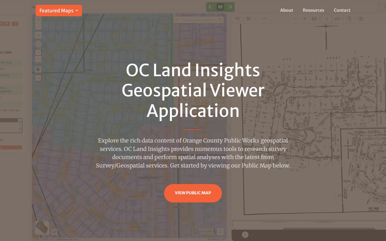
The map view turns a whole street into a set of parcel checks. Keep the APN for every clicked lot, then move to the assessor, tax, deed, or permit record without treating the map itself as proof of who is present.
Separate Costa Mesa Street Situs and Mailing
A situs address identifies the physical property. An owner mailing address identifies where assessment notices are sent. They may match, but they answer different questions. A different mailing address can reflect a preferred notice destination, an entity, a trust, or an owner elsewhere. Even a match does not prove who sleeps at the property or whether every household member appears in a public record. Census QuickFacts puts Costa Mesa owner occupancy at 39.6 percent, so an owner field cannot substitute for a resident directory.
- Parcel
- An APN-linked assessment unit used to connect a place with parcel data, values, and map geometry.
- Situs address
- The physical location assigned to the land or improvement, distinct from the notice mailing address.
- Plat and legal description
- The tract, subdivision, lot, block, or book-page language that can hold a parcel together when a street label changes.
- Criss-cross directory
- A reverse directory that starts with a street and house number, then lists a subscriber or occupant entry when that volume includes it.
The Costa Mesa address feature service adds address number, direction, street, suffix, unit, full-address variants, city code, ZIPCODE, APN, voting district, and coordinates. Use those fields to normalize a street record, then use the old or current APN and legal description to test whether two historical labels point to the same land.
Map Costa Mesa Street Records by Address
Costa Mesa address records work as a set of linked clues, not as one universal roll. The assessor and tax systems begin with a parcel or address. GIS supplies geometry and neighboring APNs. The recorder starts with a party name and date rather than a modern street search. City permits add a project timeline. Voter information has the narrowest street use because California restricts who may receive and analyze the file.
| Record Set | Keeper | What It Shows | Access |
|---|---|---|---|
| Parcel and assessment | Orange County Assessor | APN, situs, mailing or assessee fields, values, and property clues | Address or APN search |
| GIS parcel and address | OC GIS and Costa Mesa GIS | Geometry, adjacent lots, legal block/lot/book-page clues, APN, and ZIP fields | Map and query services |
| Recorded documents | Orange County Clerk-Recorder | Grantor, grantee, date, title/type, and instrument reference | Free index; copies ordered separately |
| Permits and code files | Costa Mesa Development Services | Scope, applicant, contractor, inspections, notices, and case chronology | Document Search; CPRA fallback |
| Voter information | California and Orange County election offices | Individual status or approved-file fields, not an open street roster | Self-check or authorized request |
The APN is the useful join key between the map, assessor, tax, and city parcel layers. A deed search then changes from a place question to a party question. A permit can show who applied or worked on a project at the time, while a historical directory may show a listed subscriber. Read each row for its own purpose before combining it with another.
Note: A parcel map organizes a street, but it cannot turn separate record types into one complete household roster.
Costa Mesa Street Directory Limits
A Costa Mesa street directory cannot show every person connected to a property. Current voter verification asks for first name, last name, date of birth, and, depending on the portal, a driver-license, state-ID, or SSN-digit field, and is designed for an individual check; an authorized voter-file request has purpose, approval, fee, and security rules. California does not provide an open anonymous street roster. DMV address information is restricted under the Driver's Privacy Protection Act, and utility or delivery-customer data is not a public directory.
Lawful use. Use Costa Mesa address and parcel records for personal, lawful research such as family history, property history, or checking a possible records error. Do not use an address trail to stalk, harass, intimidate, threaten, trespass, or defeat a protected address.
Safe at Home participants and other protected people may have a substitute or withheld address. The California Secretary of State's Safe at Home program is designed to interrupt that trail, so an omitted address must not be treated as proof that a person is absent. The mailing address and situs still do not prove occupancy, and a shared name still needs independent matching.
When the question changes from a whole street to one person's identity, use the Costa Mesa resident lookup workflow to compare records by date, role, and identifier instead of merging same-name results.